Top Stories
New Mapping Tool Reveals Dust Exposure Risks from Great Salt Lake

A new interactive mapping tool has been developed to model dust exposure levels resulting from the shrinking of the Great Salt Lake. This innovative resource, hosted by the University of Utah‘s Wilkes Center for Climate Science & Policy, provides vital data visualizations that aim to inform residents about the potential health risks associated with dust storms in the Wasatch Front region of Utah.
The Great Salt Lake has been experiencing significant reduction in water levels due to factors such as climate change and increased water diversion for agricultural and urban use. As the lake shrinks, exposed lakebed sediment can become airborne, leading to dust storms that may pose health hazards, including respiratory issues and other related conditions.
The newly launched mapping tool allows users to visualize the pathways of dust exposure, highlighting areas most at risk. Researchers at the university have incorporated extensive data into the model, which is based on real-time environmental conditions and scientific research. This approach enhances understanding of how declining water levels can impact air quality and public health.
Dr. J. David Smith, a leading researcher at the Wilkes Center, emphasized the importance of this tool: “By providing a clear visual representation of dust exposure, we can better inform the community about the risks and encourage proactive measures, such as water conservation.” The mapping system is designed not only for researchers but also for policymakers and the general public, making scientific data more accessible.
In addition to illustrating current dust exposure risks, the tool can help support efforts to refill the Great Salt Lake through improved water management practices. Conservation initiatives aimed at preserving water resources could significantly reduce the area of exposed lakebed, thus lowering the frequency and intensity of dust storms.
The interactive map is available online and includes features that allow users to explore specific locations within the Wasatch Front. By entering a zip code or geographical coordinates, users can see localized data on dust exposure and potential health impacts.
Public response to the mapping tool has been positive, with many residents expressing appreciation for the clear communication of risks and the emphasis on community action. As Utah grapples with the realities of climate change and its effects on local resources, tools like this are crucial for fostering awareness and promoting sustainable practices.
As the Great Salt Lake continues to shrink, the implications for both the environment and public health become more pronounced. This mapping tool represents a proactive step towards addressing these challenges, equipping the community with knowledge and encouraging responsible stewardship of water resources. The hope is that through informed decision-making and collective action, the negative impacts of dust exposure can be mitigated, ultimately contributing to a healthier future for residents of the Wasatch Front.


Revolutionary Photonic Ski-Jump Could Miniaturize LiDAR Systems

Couples Detox from Plastics in New Netflix Doc: Can It Boost Fertility?

Aventon Launches Affordable Full-Suspension Electric Mountain Bike

Discover Eight Must-Try Restaurants This Spring Season

UC Irvine Team Unveils Innovative Ion Pump for Water Treatment

One-Third of Americans Trim Daily Expenses for Healthcare Needs

Apple Secures First Oscar in Three Years with F1: The Movie

Fourth Graders Celebrate St. Patrick’s Day with Creative Weather Drawings

Kim Kardashian Dazzles at Vanity Fair Oscars Party 2026

Nostradamus’ 2026 Predictions: Star Death and Dark Events Loom

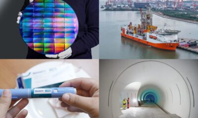
Breakthroughs and Challenges Await Science in 2026

Electric Moto Influencer Surronster Arrested in Tijuana

OpenAI to Implement Age Verification for ChatGPT by December 2025

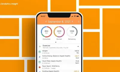
Discover the Top 10 Calorie Counting Apps of 2025

Recovering a Suspended TikTok Account: A Step-by-Step Guide

Bella Hadid Shares Health Update After Treatment for Lyme Disease

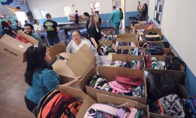
Backpack Drives Equip Students with Supplies for New School Year

Analysts Project Stronger Growth for Apple’s iPhone 17 Lineup
-
 Science7 months ago
Nostradamus’ 2026 Predictions: Star Death and Dark Events Loom
-
 Science7 months ago
Breakthroughs and Challenges Await Science in 2026
-
 Technology10 months ago
Electric Moto Influencer Surronster Arrested in Tijuana
-
 Technology8 months ago
OpenAI to Implement Age Verification for ChatGPT by December 2025
-
 Technology1 year ago
Discover the Top 10 Calorie Counting Apps of 2025
-
 Technology1 year ago
Recovering a Suspended TikTok Account: A Step-by-Step Guide
-
 Health10 months ago
Bella Hadid Shares Health Update After Treatment for Lyme Disease
-
 Education1 year ago
Backpack Drives Equip Students with Supplies for New School Year
-
 Health11 months ago
Analysts Project Stronger Growth for Apple’s iPhone 17 Lineup
-

 Technology7 months ago
Top 10 Penny Stocks to Watch in 2026 for Strong Returns
-

 Health11 months ago
Japanese Study Finds Rose Oil Can Increase Brain Gray Matter
-

 Science10 months ago
Starship V3 Set for 2026 Launch After Successful Final Test of Version 2